Church Hill by Natapoc Mountain may be modest in height compared to nearby high points. But the summit offers decent views and, best of all, solitude. At the same time, the short but steady climb offers a great workout.

See more trip photos here.
Church Hill at a Glance
Access: NF-115 by Chiwaukum Creek Trailhead
Round Trip: 2 miles
Elevation Range: 1760′-3360′
Gear: snowshoes
Route Info: Fred Beavon
GPS Track: available
Dog-Friendly: yes
The Preface
Unlike yesterday, today’s weather wasn’t going to be glorious. So I ditched my initial plan by Stevens Pass and continued driving east. Later I looked for anything accessible along Tumwater Canyon and came across Church Hill.
It was our shortest trip so far this year. But the one-mile each way meant we gained close to 1900′! However, it’s great to have a short day for a change. So we could use the extra time to do other things later.
See more trip photos here.
Church Hill East Face
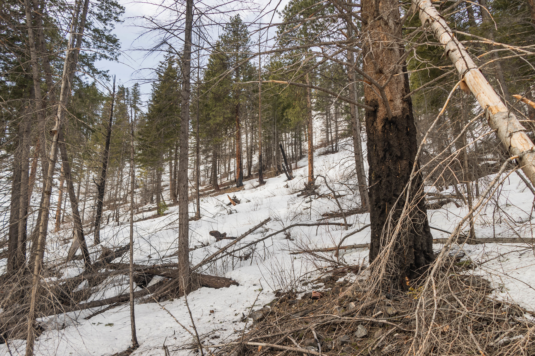
Two parties took the southwest ridge via Hatchery Creek Road, which would require driving up to 2300′. But with the extra snow this season, we wouldn’t have made it very far. So our best option was the snowy east slopes.
From the frozen ponds, we worked our way up to the minor east ridge. Firm snow in the lower forest allowed us to move at a good pace. But the higher we went, the softer the snow. So snowshoes didn’t help much after a while.

See more trip photos here.
Church Hill Summit Views
The terrain felt steeper than it looked. That, together with the massive debris and soft snow, made the going slow. Later we reached the northwest ridge at 3300′ and saw the aftermath of the Chiwaukum Creek Fire around us.
Views were open because of the charred trees, or “black chopsticks,” as I call them. But I still had to peek through branches to see the peaks. The two distinct high points here were Natapoc Mountain and Tumwater Mountain.

See more trip photos here.
Outro
Going back, we went into the gully south of the minor east ridge on more snow over the debris. But we couldn’t plunge step our way down and had to watch out for gaps. Where’s more snow when we need it?
As the slopes flattened at the bottom, snow conditions improved. So it was easier to walk back to the car in boots than snowshoes. Later we stopped by my favorite Sultan Bakery on the way home!

See more trip photos here.