Lake Sawyer Regional Park sits next to Black Diamond Open Space in Maple Valley. Lake Sawyer in the park is the fourth largest natural lake in King County. Meanwhile, the adjacent open space offers 75 trails totaling 26 miles.
See more trip photos here.
Lake Sawyer Regional Park at a Glance
Access: SE 288th Street (Info)
Round Trip: 6.6 miles
Elevation Range: 550′-620′
Gear: none
GPS Track: available
Dog-Friendly: yes
Through the Open Space Bike Trails
To get the most hiking distance, I mapped out the outer open space. Then I started from the unsigned trailhead at the north end. I looped west behind the neighborhood in a thin layer of fresh snow from the night before.
Farther south, snow on the flat ground slowly faded. With many side trails, I kept the map out to stay on track. Soon, I crossed Ravensdale Creek in Lake Sawyer Regional Park and fought some blackberry vines to the shore.

See more trip photos here.
Through Lake Sawyer Regional Park
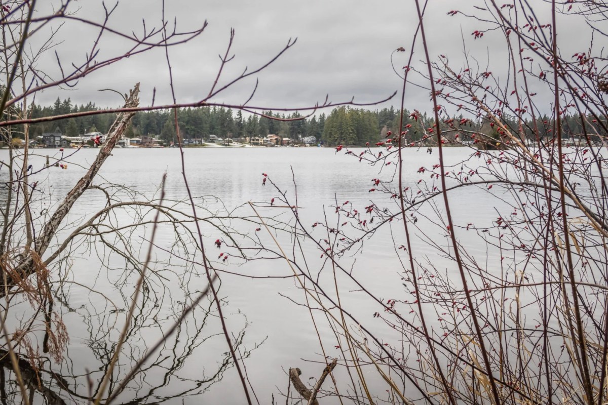
Most homes along the shore had kept out access to the lake. I checked out the water by the creek, but one would likely see most of it from the south end. The boat launch in the northwest is the other place to view the rest.
I continued past the marsh-like Frog Lake and hugged the park’s edge. Soon, I veered north and dove back into the web of trails. From Agusta, I walked two short stretches of roads before joining the maze-like Bridges.

See more trip photos here.
Exiting through Cranberry Slough by Highway 169
Bikers coming the other way would go through the inner trails. I let four riders pass me before heading east on Broadway. Despite going north along the noisy highway, I didn’t need to worry about seeing private homes.
Cranberry Slough was prettier and cleaner than I pictured. A bit of the rolling TNT soon put me on the old railroad grade. Then I basked in the morning sunshine and returned to the car after crossing the new steel bridge.

See more trip photos here.