Hugo Peak and Peak 2050 in Pack Forest sit directly north of Quiemuth Peak of Pleasant Valley. A former lookout stood atop the latter for over 20 years. Moreover, the Nisqually River winds through the foothills via the 7-mile-long Alder Lake.
See more trip photos here.
Hugo Peak at a Glance
Access: Hugo Peak Trailhead by Highway 7
Round Trip: 8 miles
Elevation Range: 800′-2040′
Gear: none
Route Info: Joanne Najdzin
GPS Track: available
Dog-Friendly: yes
The Preface
Pack Forest, Charles L Pack Experimental Forest, was a gift to UW’s College of Forest Resources. It harbors 4,300 acres of forestland and has provided a forested classroom for nearly a century. The outreach efforts have since created the Mount Rainier Institute.
After yesterday’s trip with the dogs, I needed some “me” time this morning. The trailhead began west of the summit by the forest entrance off Highway 7. Then I looped through Peak 2050, the high point in the forest and the former lookout, on the way out.

See more trip photos here.
Hugo Peak
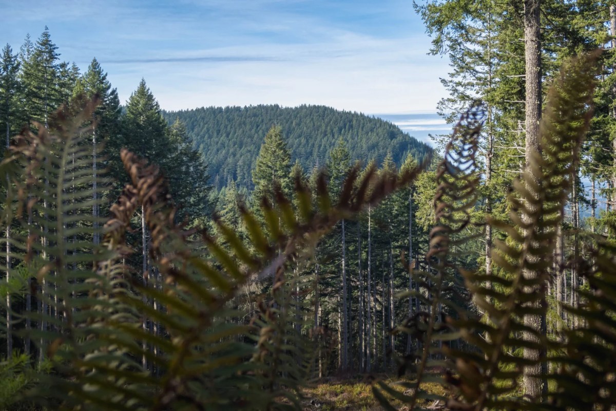
The sometimes muddy trail crossed several roads en route to the peak. At the bottom were spotty views of the west but not much else. In short, the moderate incline rose under 1000′ in 2.5 miles. Then it dead-ended on the woodsy summit adorned with two wooden benches.
I took the side trail north for 0.15 mile to the tiny viewpoint and saw Eatonville and Ohop Benchmark. Soon after returning to the top, I walked 1.5 miles southeast via the roads to Peak 2050. The high point never had a name despite the historic facts tied to it.

See more trip photos here.
Peak 2050 Plus Exit
Below the top by the clear-cut was the magnificent east view of Mount Rainier. A spur trail took me into the trees, and it soon ended on the summit by the memorial rock. There was a tiny opening to the north, but the branches were in the way of seeing anything.
I went out into the open and savored the views before leaving on a trail. Then I followed Lathrop Drive west along the northern border through another clear-cut. After a quick stop by the unnamed pond, I soon returned to the starting point.

See more trip photos here.